
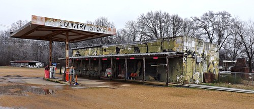
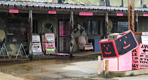
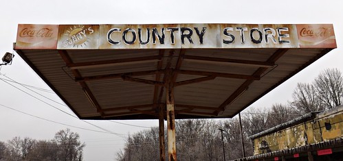
I got off I-55 South and was driving MS 35 through Batesville. A policeman at one side of town was directing a dozen or more school buses into a parking lot. At the other side of town, another policeman was directing dozens of cars out a school parking lot. It was there I pulled over to take pictures of Sunny's Country Store.
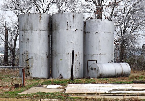
and behind Sunny's were these 4 tanks.
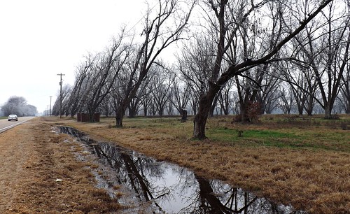
Somehow I had lost MS 35 and found myself on US 278 where I saw this bizarre scene. What could have made all these trees naturally grow at that angle away from the road? Like a consistent wind was pushing them over the last decade or so it would take to grow to that height.
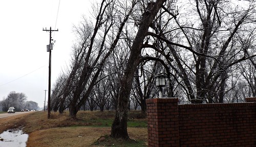
but from that was formed this natural arch with the row of trees behind
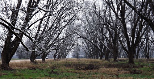
Looking at these pictures though, I believe I've figured out how these trees have grown away from the road. What's your guess? Any idea? Leave your answer in the comment section.
And driving the back roads, with nothing but miles of nothing out the windows, the mind wants to fill that gap. So what was this place? These two brick walls mark an entrance... but an entrance to what?
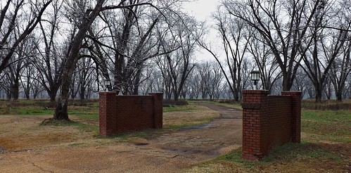
It reminded me of a couple places I ran across years ago in Florida. They were ideas, like ghost towns without the town: the beginnings of a subdivision that never quite happened. Planned and mapped, you can drive the few empty roads and see where the house lots would have been. You can imagine the glossy pamphlets with drawings of tree shaded lots, children playing or maybe a future retirement village. But they fell through. Not enough investors and not much interest.
And this place. Whatever it was intended to be, didn't happen. So trees were planted.
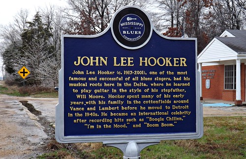
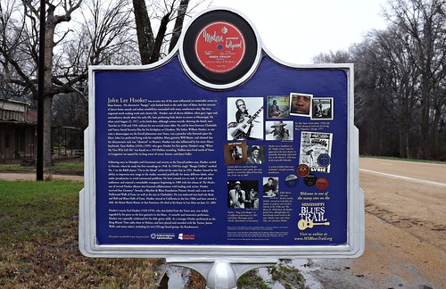
I got off US 278 at Marks and started south on MS 3. It wasn't long before I took the last photos of the day at the John Lee Hooker marker on the Mississippi Blues Trail near Vance, Mississippi.
I drove MS 3 until it became US 49 West but in January, Mississippi sunset comes fast and dark around 5:30 pm. I was far from a motel room, so it was decision time. I looked at the map.
The guy back at the Welcome Center said that between Grenada and Jackson there were no motel rooms and there certainly weren't any where I was, so I decided to beat it back to I-55 by way of MS 8 and go to Grenada, rather than sit a 2 hour drive to Jackson.
No comments:
Post a Comment